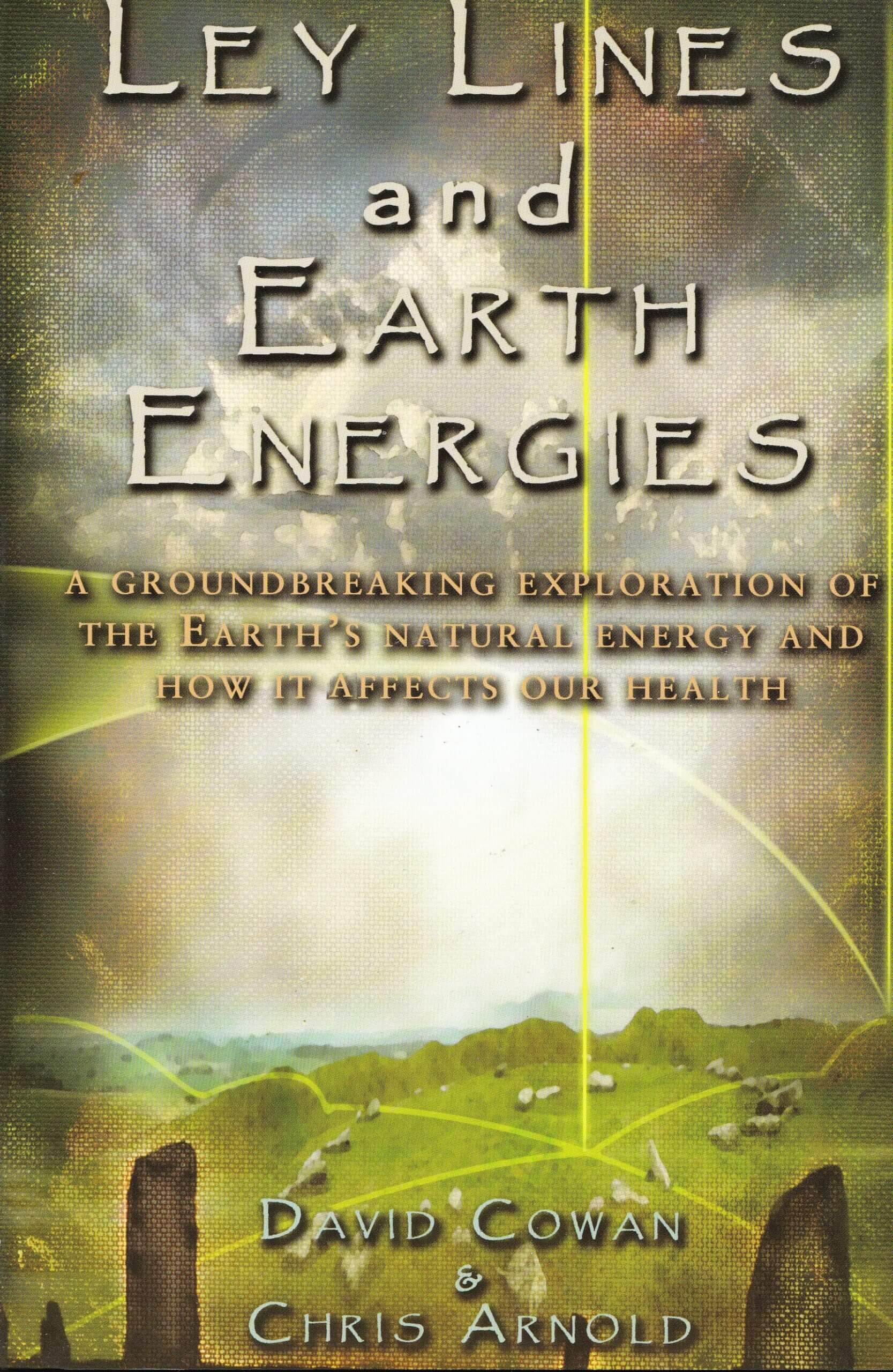
The Ley Lines Map: Charting the Hidden Energy Network of the Landscape
The Ley Lines Map: Charting the Hidden Energy Network of the Landscape
Across the British countryside, a network of straight lines connecting ancient sites has fascinated seekers and scholars for a century. These so-called ley lines, first popularized in the 1920s, are proposed alignments of landmarks such as hills, stones, and churches. The Ley Lines Map attempts to chart this invisible pattern, turning the familiar geography of the UK into a web of mystical energy. This article examines the origins, methodology, and enduring appeal of mapping these enigmatic pathways.
The term "ley line" was coined by amateur archaeologist Alfred Watkins in 1921. Watkins, while looking at maps, noticed that ancient sites, churches, and hills often fell on straight lines. He proposed that these alignments were not coincidental but represented prehistoric trackways used for trade or ceremony. His 1925 book, "The Old Straight Track," ignited a phenomenon that continues to resonate in alternative spirituality and modern cartography.
Watkins' initial hypothesis was rooted in practicality rather than mysticism.
He suggested that in a heavily forested landscape, seeing distant landmarks was crucial for navigation. By connecting the highest points, inhabitants could create a network of sightlines, or "leys," for wayfinding. This theory offered a logical explanation for the alignments, framing them as feats of ancient engineering rather than supernatural constructs. However, the mystical interpretation quickly overshadowed the practical one.
The process of creating a Ley Lines Map involves identifying key nodes and drawing straight lines between them. Modern map overlay software allows enthusiasts to test thousands of alignment combinations in seconds. The methodology, while seemingly scientific, is often subjective and prone to confirmation bias.
The Mechanics of Mapping the Unseen
Creating a convincing Ley Lines Map requires a specific selection of data points. Proponents must choose which landmarks qualify as nodes, effectively filtering the landscape to fit the pattern. This process raises questions about the validity of the resulting map.
The criteria for identifying ley lines typically include:
- **Ancient Monuments:** Sites such as stone circles, burial mounds, and ruins are primary nodes.
- **Natural Features:** Hills, peaks, and distinctive rock formations serve as elevated anchors for the lines.
- **Religious Structures:** Churches, cathedrals, and holy wells are frequently incorporated, suggesting a sacred geography.
- **Man-made Structures:** Some maps include modern landmarks, though this dilutes the historical narrative.
A famous example is the "St. Michael Ley," one of the most discussed alignments in England. This line is said to connect Glastonbury Tor, the site of St. Michael's Tower, with other churches dedicated to St. Michael. Maps of this ley line create a dramatic diagonal across southern England, linking locations that supporters argue form a coherent spiritual corridor.
Debunking the Straight Line
Skeptics argue that ley lines are a product of Pareidolia, the human tendency to see patterns in random data. Given enough points on a map, it is statistically inevitable that some will align. Critics point out that straight lines are the shortest distance between two points, a natural choice for travel.
The main counter-arguments to ley line theory include:
1. **Statistical Probability:** With thousands of ancient sites in the UK, the chances of some forming lines are high.
2. **Selective Filtering:** Maps often omit nodes that do not fit the desired pattern.
3. **Modern Invention:** The concept is a 20th-century invention, not an ancient tradition.
4. **Lack of Physical Evidence:** No energy source or material artifact has ever been found to prove the lines are anything but symbolic.
Archaeologist Richard Bradley has offered a grounded perspective on the phenomenon. "The appeal of ley lines is that they connect the past to the present in a very direct way," he notes. "However, archaeology tells us that ancient landscapes were complex. People moved around in ways that were not always linear, and their motivations were spiritual as well as practical. Reducing that to a simple map obscures the rich reality of how people lived."
Despite the lack of empirical evidence, the Ley Lines Map holds a powerful grip on the public imagination. It transforms a familiar landscape into a hidden puzzle, suggesting that the ground beneath our feet is alive with secret knowledge. For many, the lines represent a connection to a lost ancient wisdom or a universal energy field.
The fascination with these maps is also tied to the desire for mystery in an increasingly rational world. In an age of digital navigation and GPS, the idea of an invisible network guiding pilgrims and travelers is romantically appealing. It suggests that there are still secrets to uncover, even in well-trodden territory.
The Ley Lines Map is more than a cartographic curiosity; it is a cultural artifact. It reflects a shift in how people relate to history and landscape. Whether viewed as a genuine energy network or a compelling narrative, the lines speak to a human need to find meaning and connection in the physical world. They remind us that how we see a map is often as important as the territory it depicts.
Related Post
Ley Lines Map Us: Decoding the Hidden Grid of Sacred Landscapes and Mystical Energy
Ley Lines Map Florida: Separating Earth Energy Mysticism From Geographic Reality

The Ancient Web of Ley Lines Unveiled: Uncovering the Secret Energy Grid of the USA
The Hidden Pathways of the United States: Unveiling the Ley Lines Map