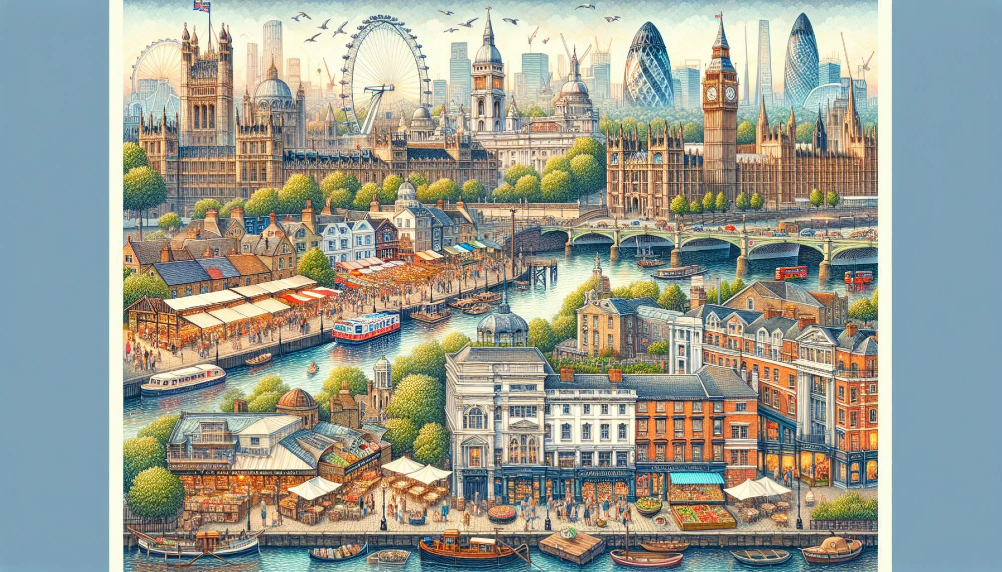
Where Is London Located: Pinpointing the Capital on the Global Map
Where Is London Located: Pinpointing the Capital on the Global Map
London sits at a strategic latitude of 51.5°N on the River Thames estuary, approximately 96 kilometres inland from the North Sea. This positioning within south-eastern England has shaped its history as a major port and a pivotal political and economic centre for centuries. The city’s specific coordinates, 51°30′26″N 00°07′39″W, anchor it as a key reference point for geography, transportation, and international connectivity.
Geographically, London occupies a unique position in the landscape of Great Britain. Unlike many European capitals that sit at the heart of a flat plain or within a prominent mountain range, London’s character is defined by its relationship to the River Thames and its proximity to the coast. Understanding its precise location requires looking at both its situation relative to the surrounding country and its absolute position on the globe. This specific placement has been fundamental to its development from a Roman settlement to a sprawling modern metropolis.
The concept of "situation" in geography refers to a city's location relative to other places and physical features. London’s situation is exceptional due to its inland port status. The city is located approximately 80 kilometres from the North Sea, a distance that was easily navigable for ships in centuries past when water levels were higher and the river was wider. This access to maritime routes provided an unparalleled advantage for trade and defence.
Historically, the Roman city of Londinium was founded at a strategic crossing point of the River Thames. This ford, and later the bridge, were vital for the Romans controlling the new province of Britannia. The river not only offered a reliable water source but also acted as a natural moat, protecting the settlement on three sides. The city's continued expansion has always radiated outwards from this original riverside core, following the logic of its initial, well-chosen site.
London’s position on the Thames creates a distinctive geographical layout. The river flows roughly eastward through the city before turning southward to meet the North Sea. This has led to a clear geographical and economic divide between the northern and southern banks, although this distinction has blurred significantly over time. Key districts such as the City of London, Westminster, and Southwark developed along this primary geographical artery, dictating the city's urban morphology.
The administrative boundaries of London are complex, encompassing a vast area of over 1,500 square kilometres. At its heart lies the City of London, the historic square mile that serves as the primary financial district. Surrounding this is Greater London, an administrative region composed of 32 boroughs and the City of London. This sprawling conurbation stretches across the home counties, blurring the lines between urban and rural landscapes.
Key Geographic Coordinates and Locations* **Absolute Coordinates:** 51° 30′ 26″ North, 0° 7′ 39″ West.
* **Ordnance Survey Reference Point:** The standard datum used for mapping Great Britain, located on the north coast of Kent.
* **Proximity to Other UK Cities:**
* Approximately 190 kilometres northeast of Bristol.
* Roughly 225 kilometres north of Brighton.
* About 56 kilometres southwest of Canterbury.
* In excess of 100 kilometres south of Birmingham.
London’s location within England is in the south-east, in the county of Greater London. It is bordered by the counties of Hertfordshire to the north, Essex to the north-east, Kent to the south-east, Surrey to the south, and Berkshire to the west. This central position in the South East has historically made it a crossroads for migration, trade, and cultural exchange from both continental Europe and the rest of the British Isles.
Access to the European continent has always been a feature of London’s geography. The narrowest part of the English Channel, known as the Strait of Dover, is located relatively close to the city's eastern reaches. This proximity has made Britain an accessible yet insular nation, with London often serving as the primary point of contact. The development of the Channel Tunnel and international air hubs has only strengthened this connection to the European mainland.
The Thames Estuary, where the river meets the North Sea, is a vast and ecologically significant area. It encompasses mudflats, saltmarshes, and sandy islands like the Isle of Sheppey. This estuarine environment has historically been crucial for shipping, with major ports such as Tilbury located downstream from central London. The management of this fragile landscape is a constant challenge, balancing conservation with commercial and residential development on its fringes.
In the modern era, London’s location is defined as much by its digital connectivity and air infrastructure as by its rivers and roads. The city is a major hub for international air travel, with Heathrow Gatwick, and City airports linking it to every continent. This logistical network reinforces its status as a true global city, a place where decisions made in boardrooms and government buildings have immediate repercussions worldwide.
The climate of London is temperate maritime, heavily influenced by the North Atlantic Drift. This warm ocean current ensures that winters are generally mild and summers are rarely excessively hot. The specific position in the rain shadow of prevailing westerly winds creates a climate that is damp and changeable, a fact famously commented upon by its residents and visitors alike. This moderate climate has been another factor contributing to its long-term habitability and growth.
The concept of London as a "world city" is intrinsically linked to its geographical position. Professor Peter Hall, an influential urban planner, noted the city's ability to "reinvent itself" while maintaining its historical core. This resilience is partly due to its location, which has allowed it to adapt to changing economic tides, from a manufacturing powerhouse to a service and technology-driven economy. Its position continues to attract global talent and investment.
Looking at a map, London appears as a dense cluster of light, a beacon in the British night. Its M25 orbital motorway encircles the capital, acting as a physical and symbolic boundary for the metropolis. Within this expanse, the geography varies greatly, from the flat, low-lying areas of the Lea Valley in the east to the higher ground of Hampstead Heath in the north. This internal diversity is a direct result of its initial location and subsequent, unplanned expansion.
Economically, the location of London dictates the value of its real estate and the flow of people and capital. The proximity to the former Port of London drove the development of the Docklands, an area now transformed into residential and commercial hubs like Canary Wharf. This continuous evolution demonstrates how the city's physical location remains a primary driver of its economic destiny, long after the original industrial ports have ceased their original function.
Culturally, London’s position as a melting pot is a direct consequence of its location. As a point of entry for centuries of immigrants from across the empire and the European Union, it has developed a uniquely diverse population. This demographic variety is visible in the city’s cuisines, languages, and neighbourhoods, from Brick Lane’s Bangladeshi community to the Polish enclaves in Hammersmith, creating a urban fabric that is globally conscious by necessity and nature.
The future of London’s location presents both opportunities and challenges. Rising sea levels and the increasing risk of flooding due to climate change pose significant threats to this low-lying coastal city. Significant investment is being made in flood defences, such as the Thames Barrier, to protect this critical asset. The ongoing debate about the city's relationship with its river and its hinterland will shape its development for generations to come.
Understanding where London is located is to understand the foundation of its immense power and influence. It is a story of geography as destiny, where a fording point on a river became the capital of a quarter of the human race. Its coordinates on the map are more than mere numbers; they are the key to deciphering the past, present, and potential future of one of the world's most important cities.
Related Post

Where Is London Located: The Heart of Britain’s Global Legacy

Where Is London Located In England: The Iconic Capital At England’s Heart