Where Is Arizona: Mapping the Grand Canyon State’s Geography, Borders, and Key Locations
Where Is Arizona: Mapping the Grand Canyon State’s Geography, Borders, and Key Locations
Arizona is a Southwestern U.S. state defined by dramatic elevation shifts, arid plateaus, and the iconic Grand Canyon, bordered by California, Nevada, Utah, New Mexico, and the Mexican state of Sonora. Its geographic center lies in Yavapai County, and the state spans approximately 113,594 square miles at widely varying latitudes and longitudes. This piece explains where Arizona is located, how its boundaries are defined, and where its major cities and landmarks sit within the broader regional context.
Arizona sits in the heart of the North American interior, far from any oceanic influence that might moderate its climate. The state’s position deep within the continent helps drive its extreme temperature variations and distinctive desert environment. Understanding where Arizona is requires examining both its precise coordinates and its relationships with neighboring jurisdictions.
Geographic coordinates place Arizona roughly between 31° and 37° north latitude and 109° and 115° west longitude. Its northern border with Utah follows the 37th parallel north, a straight line drawn by surveyors long before the region was populated. To the east, the border with New Mexico aligns mostly along the 109th meridian west, save for a small correction near the western edge of the Navajo Nation. On the western side, California and Nevada meet Arizona at complex junctions shaped by earlier surveys and the shifting course of the Colorado River.
In the southwest, Arizona’s boundary with Mexico follows the Colorado River and then a straight line south to the international boundary. This southwestern corner of the state includes the twin cities of Nogales, Arizona, and Nogales, Sonora, where cross-border commerce and culture have long intertwined. The southeastern tip of Arizona extends into the desert corridor between Mexico and New Mexico, creating a strategic bottleneck for transportation and trade routes.
Arizona’s internal geography is often divided into distinct regions that help residents and visitors understand where different landscapes and communities are located. These regions are not official administrative divisions, but they reflect climate, topography, and cultural history.
- Northern Arizona, home to the Grand Canyon, Lake Powell, and dense ponderosa pine forests, sits at higher elevations and cooler temperatures.
- Central Arizona contains the Phoenix metropolitan area, with sprawling suburbs and agricultural valleys interspersed among desert foothills.
- Southern Arizona, anchored by Tucson, blends Sonoran Desert ecology with a strong Hispanic heritage and proximity to the border.
- Western Arizona includes river valleys and low mountain ranges, forming a transitional zone toward the Colorado River and California.
The state capital, Phoenix, lies in the south-central region at about 33.4484° N, 112.0740° W, making it one of the largest cities in the United States situated at a relatively low elevation. Nearby towns such as Mesa, Chandler, and Scottsdale form a dense suburban corridor that continues to expand outward from the original urban core. Further north, Flagstaff serves as a major high-elevation hub, its position near the base of the San Francisco Peaks providing access to forests, ski slopes, and the Grand Canyon.
Tucson, in southern Arizona, sits in a valley beneath the Santa Catalina Mountains and is known for its desert landscapes, cultural institutions, and role as a regional economic center. On the western side, cities like Yuma lie at the confluence of the Colorado River and the Gila River, positioning them as historic crossroads for trade and transportation. Smaller regional centers such as Prescott, in central Arizona, and Douglas, near the border, each anchor their own local economies and cultural identities within the larger framework of the state.
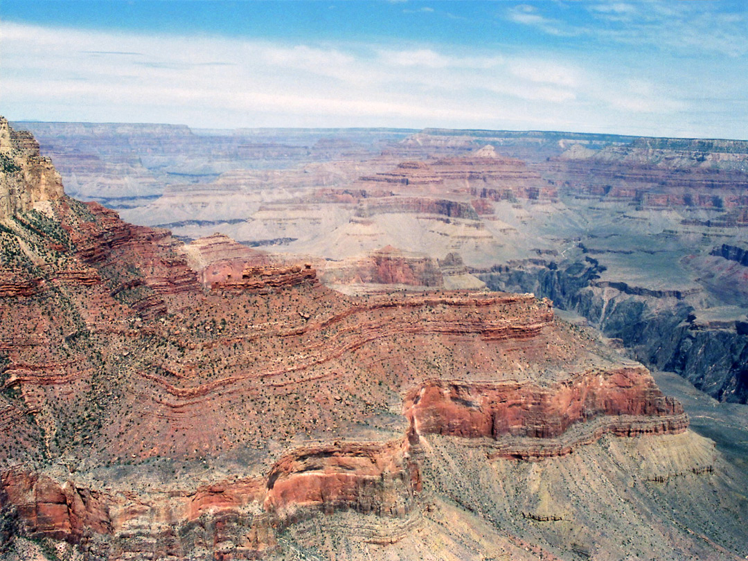
Arizona’s defining natural feature, the Grand Canyon, occupies a vast section of the north-central part of the state, drawing millions of visitors each year to its layered cliffs and exposed geologic history. West of the Canyon, the landscape transitions into high desert plateaus and wide valleys, while to the east, mesas and buttes give way to the dramatic scenery of the Colorado Plateau. The Colorado River, which carved the Grand Canyon over millions of years, continues to define Arizona’s western boundary in stretches and supports agriculture and communities along its lower reaches.
The location of major highways and interstates further illustrates where Arizona fits into broader regional travel patterns. Interstate 40 runs east–west across the northern part of the state, connecting Flagstaff and Kingman to cities in California and New Mexico. Interstate 17 links Phoenix with Flagstaff, offering one of the few direct north–south routes through the state’s mountainous interior. Interstate 10 crosses the southern portion, linking Tucson with El Paso and Los Angeles, while Interstate 19 connects Nogales with Tucson along a corridor rich in agricultural and industrial activity.
Because of its size and varied terrain, Arizona contains several distinct ecological zones that influence where people live and how communities develop. Lower deserts in the south give way to mid-elevation grasslands and forests, then to the high-altitude spruce-fir landscapes of the Colorado Plateau. These environmental gradients help define microclimates, water availability, and seasonal patterns across the state. For example, Flagstaff experiences four distinct seasons with significant snowfall, while places like Phoenix and Yuma see extremely hot summers with minimal rainfall.
Water management is closely tied to location within Arizona, with the Colorado River supplying a large portion of the state’s municipal and agricultural needs. The Central Arizona Project canal transports water from the river to Phoenix and Tucson, threading through desert and farmland in a feat of engineering that underscores how geography shapes infrastructure. Groundwater resources, though vital, are unevenly distributed, influencing where large-scale development has occurred and where it may be sustainable over the long term.
In discussions of where Arizona is, it is also important to note the presence of tribal nations whose territories span large portions of the state. Many reservations are situated in geographically distinct areas, often in regions with limited water but significant cultural and historical importance. The location of these nations within Arizona has shaped everything from land-use patterns to economic development strategies and intergovernmental relationships.
Maps of Arizona can look striking because of the state’s mix of public, tribal, and private lands, with large blocks of federally managed terrain interspersed with urban and agricultural zones. Remote areas of the north and west remain sparsely populated, while the corridor between Phoenix and Tucson hosts much of the state’s population and economic activity. This uneven distribution reinforces the idea that location within Arizona is not uniform, but deeply connected to resources, infrastructure, and opportunity.
For those asking where Arizona fits within the broader United States, the state lies southwest of the Rocky Mountain region and east of the Pacific Coast, sharing cultural and economic ties with both. Its border with Mexico also places Arizona at the intersection of North American trade, migration, and environmental patterns, making its location strategically significant beyond its regional context. From the perspective of time zones, most of Arizona observes Mountain Standard Time year-round, setting it apart from neighbors that shift with daylight saving time.
Geographic location continues to shape Arizona’s role in transportation, energy, and industry. Rail lines, highways, and pipelines converge in key hubs, reflecting both natural corridors and political decisions made over more than a century. Air routes link Phoenix and Tucson with major domestic and international destinations, reinforcing the state’s connectivity despite its inland position. In each of these cases, where Arizona is located determines not only how people move through the state, but how the state moves in relation to the rest of the world.
Related Post
Where Is Arizona Located In The Usa: Mapping The Grand Canyon State’s Geographic Identity
Where Is Arizona Located In America: Mapping The Grand Canyon State’s Geographic Identity
Where Is Arizona Located In Usa: Mapping The Grand Canyon State’s Geographic Identity